Tanja regains the joy of cycling
N 25°33'55.3'' E 103°15'54.4''
Date:
14.05.2016
Day: 322
Country:
China
Province:
Yunnan
Location:
Xundian
Latitude N:
25°33’55.3”
Longitude E:
103°15’54.4”
Daily kilometers:
74 km
Total kilometers:
16,859 km
As the crow flies:
58.00 km
Average speed:
16.2 km/h
Maximum speed:
47.3 km/h
Travel time:
04:33 hrs.
Soil condition:
Gravel / asphalt
Maximum height:
2.200
Total altitude meters:
37.913 m
Altitude meters for the day:
1.520 m
Sunrise:
06:22 am
Sunset:
7:44 pm
Temperature day max:
29°C
Temperature day min:
14°C
Departure:
07:30 a.m.
Arrival time:
2:30 pm
(Photos of the diary entry can be found at the end of the text).
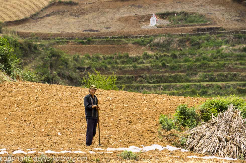
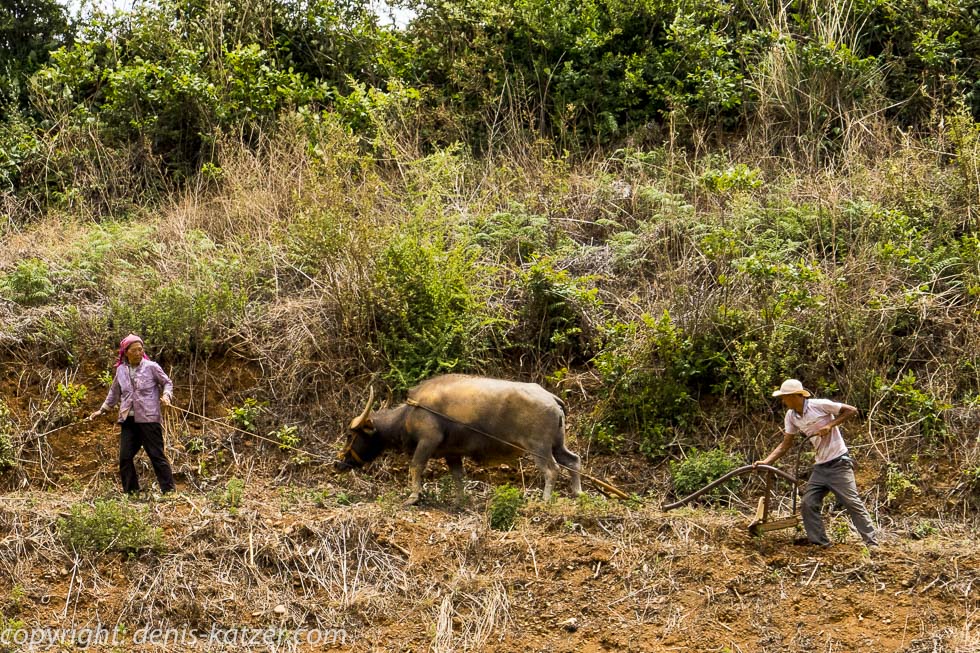
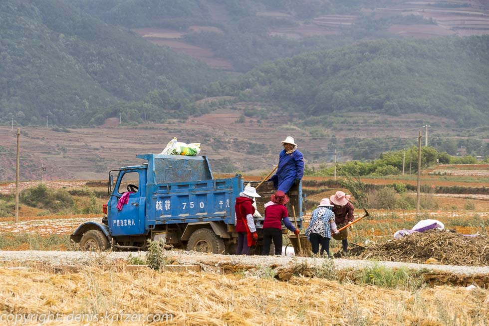
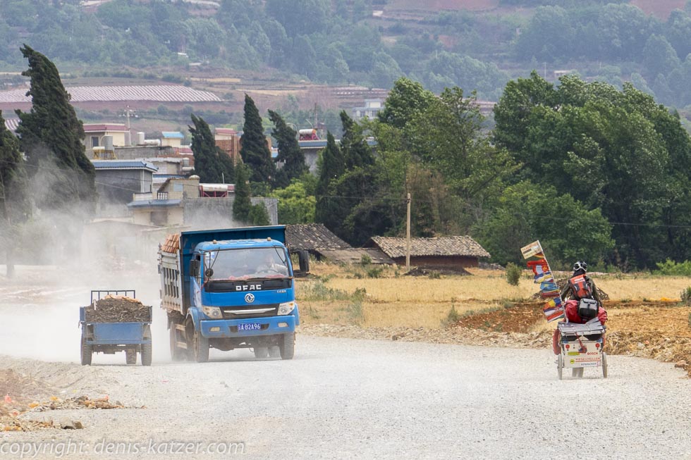
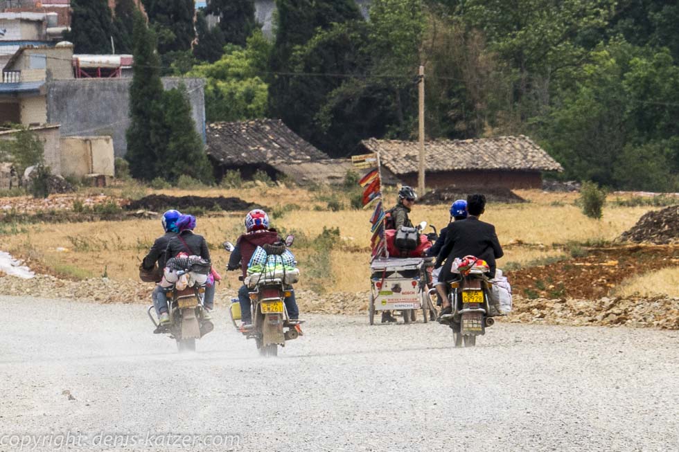
Due to the dense cloud cover, the high summer temperatures of the last few days have returned to normal. Fortunately, because a third of today’s route consists of roadworks, gravel and clay tracks. And, even though we cross 1,520 meters of altitude on this day, Tanja starts to enjoy cycling again. The reason for this is that her weeks-long cold is improving noticeably…
If you would like to find out more about our adventures, you can find our books under this link.
The live coverage is supported by the companies Gesat GmbH: www.gesat.com and roda computer GmbH http://roda-computer.com/ The satellite telephone Explorer 300 from Gesat and the rugged notebook Pegasus RP9 from Roda are the pillars of the transmission.